Grostenquin, France
Local Area Photographs
Click on the description text to view the photograph.
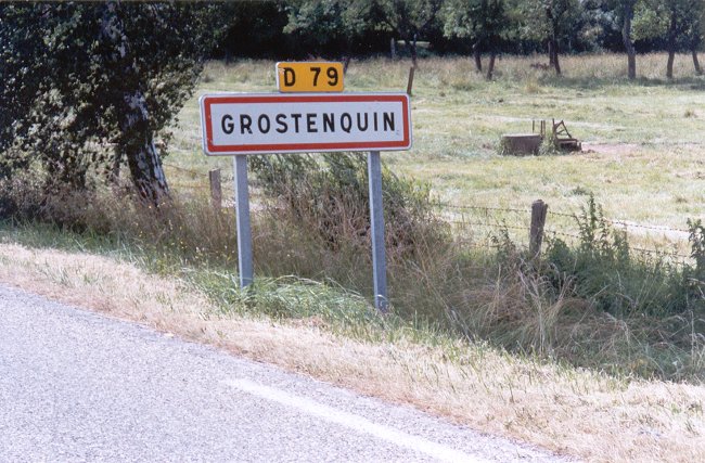
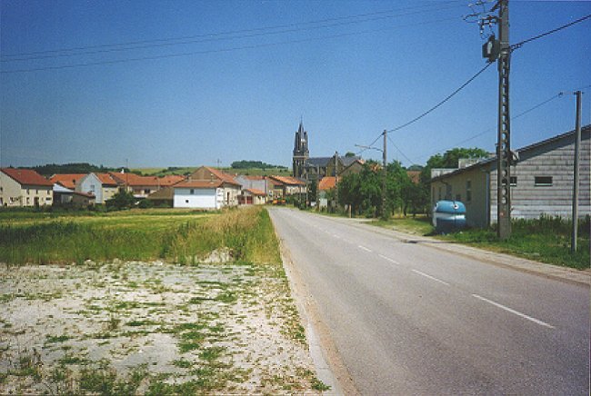
Entering the village of Grostenquin on Route D-79 - June 2000.
Courtesy Cato Larsen.
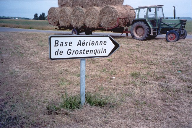
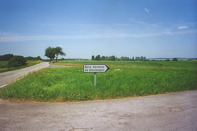
Direction sign from Route D-79 to the airfield access road - June 2000.
Courtesy Cato Larsen.
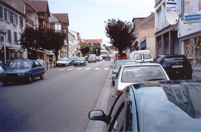
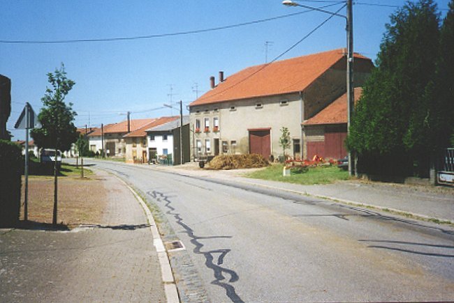
The main street in Faulquemont - June 2000.
Courtesy Cato Larsen.
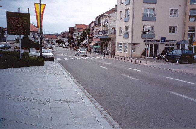
The main street in Faulquemont - June 2000.
Courtesy Cato Larsen.
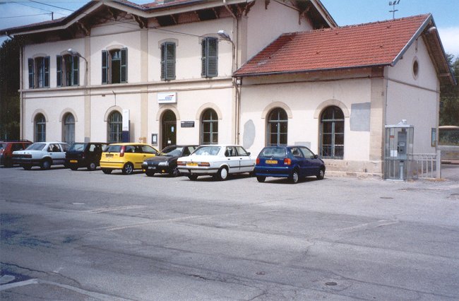
The railroad station at Faulquemont - June 2000.
Courtesy Cato Larsen.
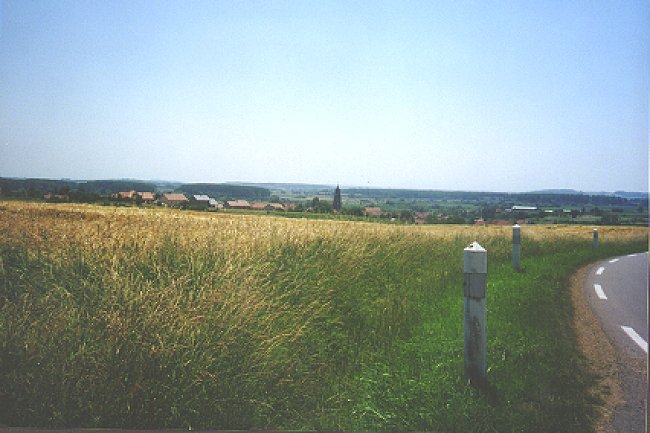
Lelling as seen from one end of town - June 2000.
Courtesy David Hackett.
Lelling complete with a manure pile - June 2000.
Courtesy David Hackett.
Road to the station - June 2000.
Courtesy David Hackett.
Road to the station (looking towards Hemering and Guessling) - June 2000.
Courtesy David Hackett.
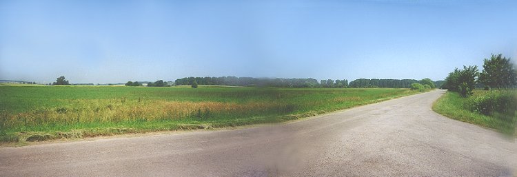
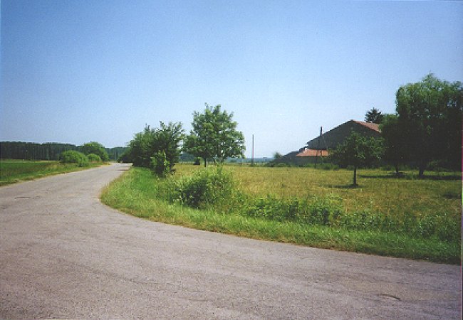
Road to the base. Panorama with the buildings of Bistroff - June 2000.
Courtesy David Hackett.
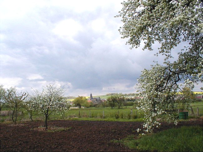
The base and Lelling from the short way - June 2000.
Courtesy David Hackett.
The village of Lelling as seen from a different angle - May 2000.
Courtesy Jacques Kunzler.
The village of Lelling as seen from a different angle - May 2000.
Courtesy Jacques Kunzler.
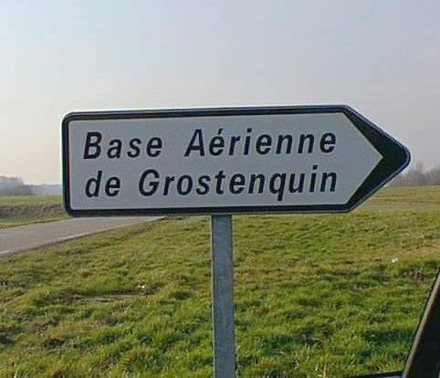
Road sign pointing towards Grostenquin airport - April 2000.
Courtesy Claude Bernier.
Photographic Credits
All photos are used with permission.
Return to the Details Page
Return to Top of Page
About This Page
Updated: April 7, 2001