August, 1996
I first communicated with Robert Eno via the Internet in July 1996 with the hopes of obtaining some detail on the radar station which was located in Frobisher Bay between 1953 and 1961. Ongoing communication continued via the Internet. While this web site has been dedicated to those military radar stations which once formed the Pinetree Line, it was quite evident that the Frobisher Bay area would provide additional areas of interest.
During late July 1941, aerial reconnaisance of the Eastern Arctic was undertaken by the US and a potential site for an airfield was found at upper Frobisher Bay. Although it was too late in the season to start construction, the US was given permission to eatablish a weather station which was code-named Crystal II at Crowell Island. In October 1941 the personnel for this station were landed by ship at Crowell Island (on the south side of upper Frobisher Bay) and two buildings were constructed.
Crowell Island, the original site of Crystal II, proved to be too small for an air base so a new site was located at the head of Frobisher Bay on Koojesse Inlet. On August 1, 1942 surveyors were landed at the new site and by early September 200 men were there and the commissary store was in operation. By mid-September 1942 the hospital at Frobisher Bay was in operation. In late 1942 an American civilian contractor, Al Johnson Construction Company, had taken over the construction of the airfield and building accommodation for 800 personnel. Crowell Island was still in use as late as September 1942 but was likely closed shortly after this date.
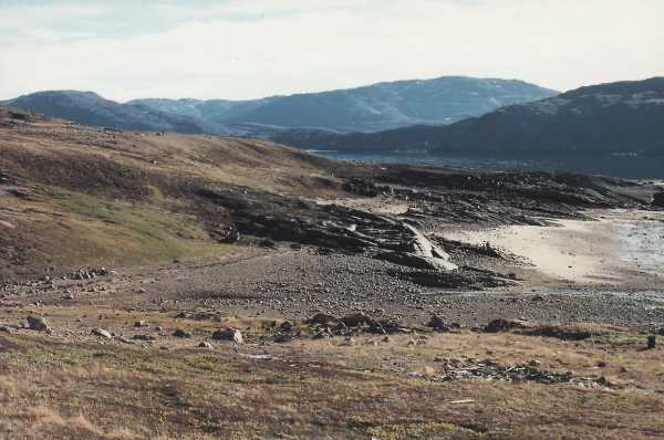
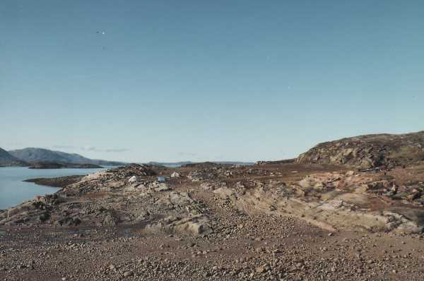
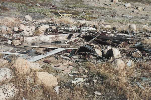
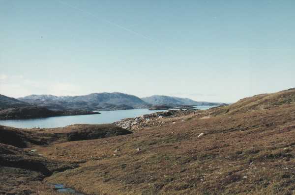
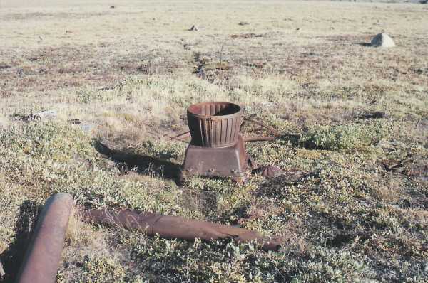
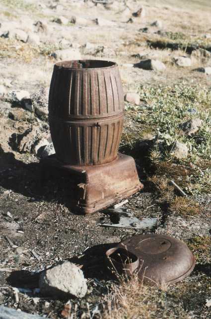
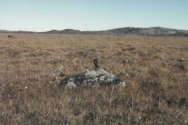
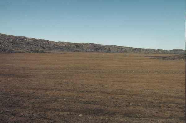
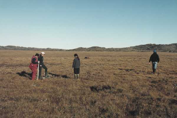
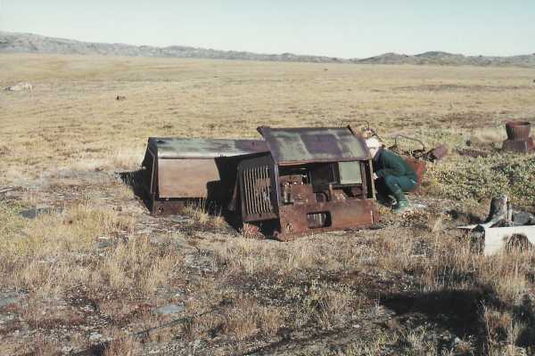
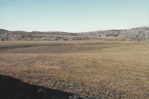
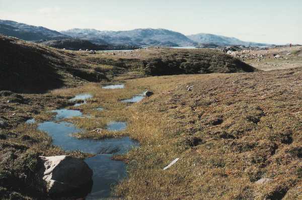
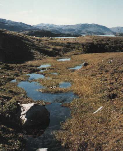
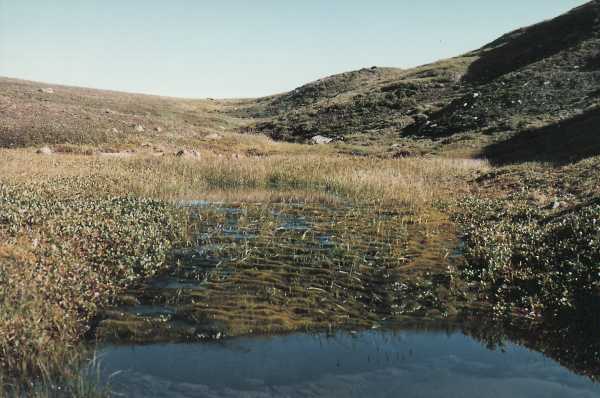
The following photographs depict the the remains of Crowell Island as of August, 1996.
| Return to the Details Page |
| Index |
| Return to Top of Page |
Updated: April 25, 2000